


During negotiations for the purchase of Louisiana, the American delegates asked the British about the northern boundary. The British made no specific answer. Again in 1806, delegates were sent to London to establish a northern boundary. Lake of the Woods (or Woods Lake) had been designated as the northern boundary in 1783, but there was no boundary line west of Lake of the Woods. Again, in 1806, there was no resolution to the question.
Further discussions of the boundary issue were impossible when the United States and Great Britain entered into a period of tensions that led to the War of 1812. During the 1814 treaty negotiations that ended the War of 1812, the question of the northern boundary came up again. The 49th parallel was suggested by the United States, but the British again delayed finding a resolution to the boundary issue. However, an era of good relations between the two nations began in 1815.
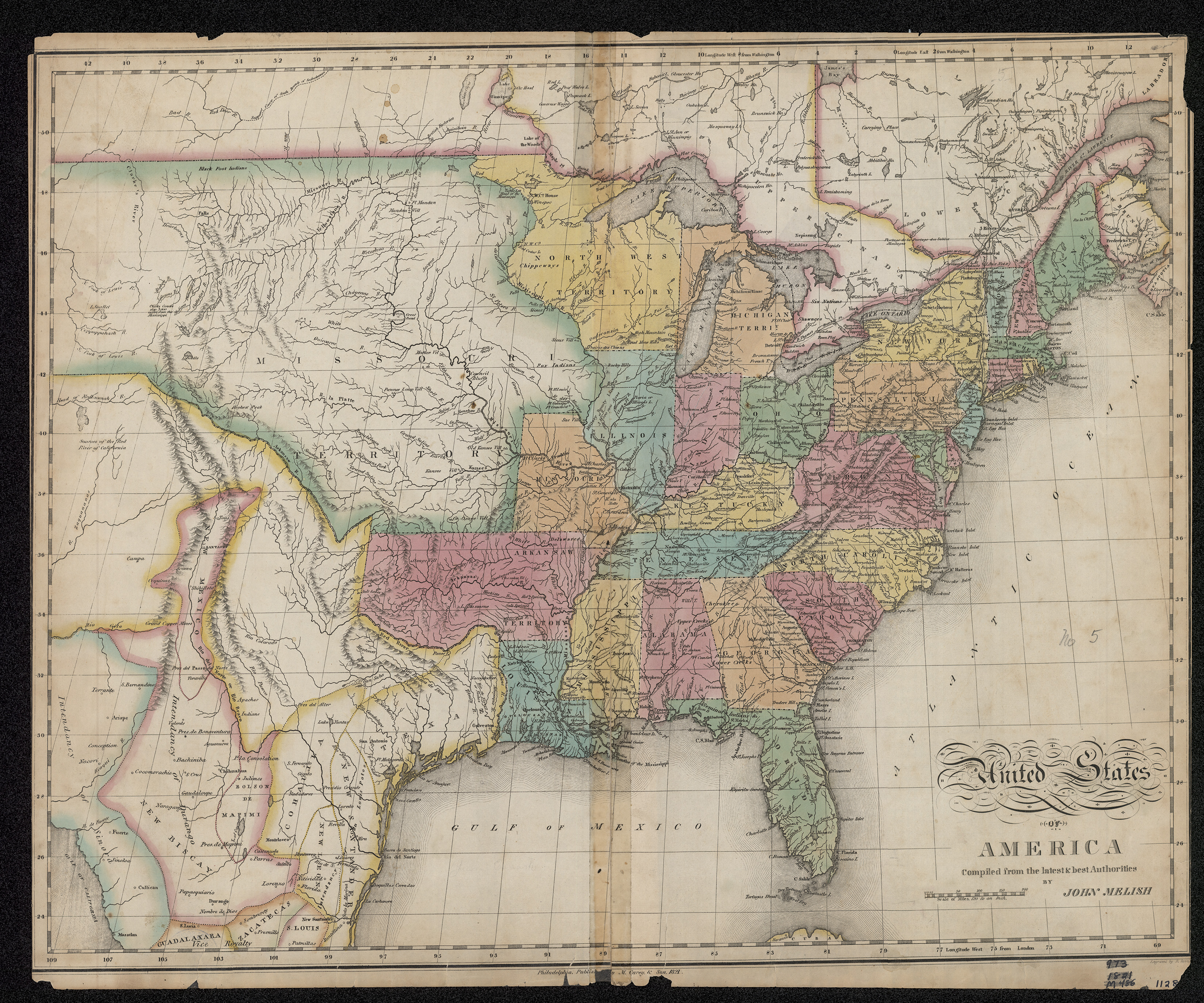
The United States had been researching the history of the northern boundary since 1803. The London-based Hudson’s Bay Company had recognized the 49th parallel as its southern boundary in 1714. However, the Hudson’s Bay Company and its rival in the fur trade, the North West Company, were actually well established in the fur trade south of the 49th parallel. In addition, maps of the region indicated that the Hudson’s Bay Company made a claim to the Red River Valley because it was part of the Hudson Bay drainage. The Red River is not a tributary of the Missouri River, so the Hudson’s Bay claim was partially legitimate.
When the United States bought Louisiana from France, it gained sovereignty (national control) over the entire Missouri River drainage. Some of the tributaries of the Missouri had their headwaters north of the 49th parallel. If the boundary line was to be successfully drawn along the 49th parallel, negotiations would have to resolve these contested areas.
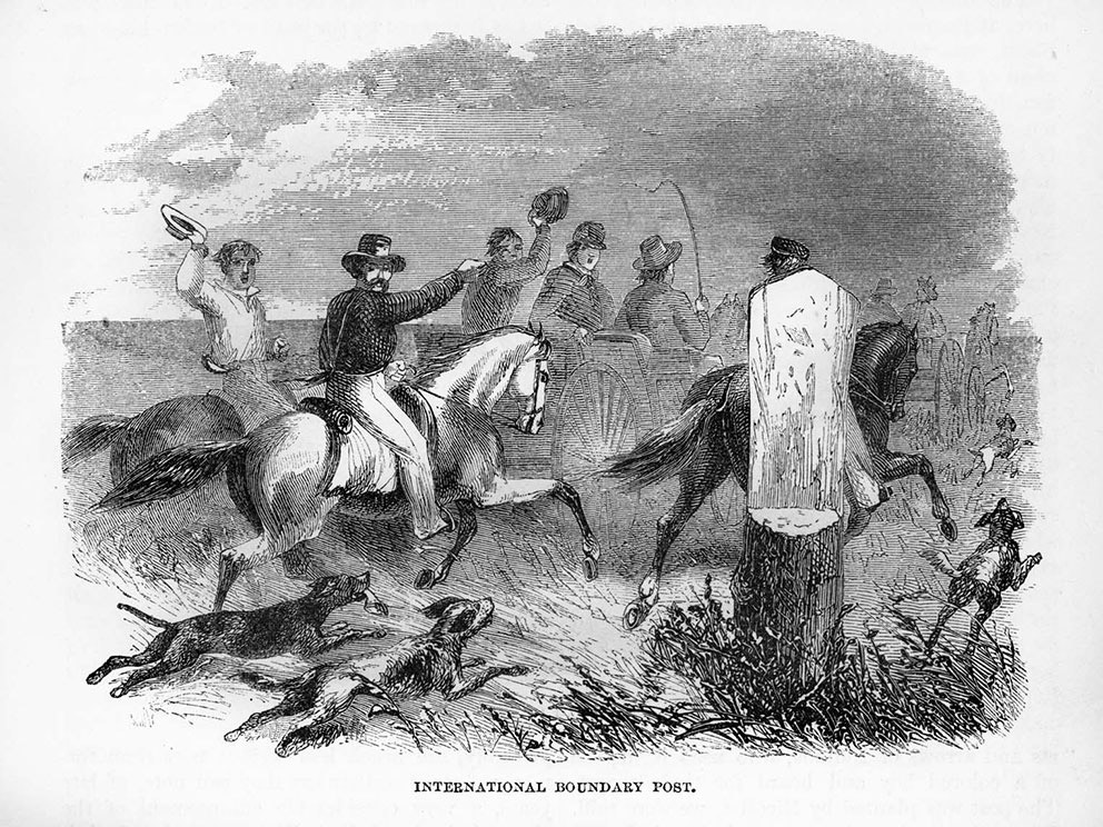
In 1818, Great Britain opened negotiations on a number of international issues with a convention in London. Delegates from the United States insisted on keeping the northern boundary issue separate from all other questions. The British submitted to pressure to finalize the boundary. The line was decided to be along the 49th parallel from Lake of the Woods to the crest (high point) of the Rocky Mountains. (See Image 3.) The Oregon Country, west of the Rockies, remained open to both countries for several more years. (See Map 6.)
Why is this important? Before the Louisiana Purchase, the United States had no interest in the northern boundary. As the nation expanded, it needed to have the boundaries defined. In addition, it needed to be able to defend those boundaries both in negotiations with other nations and with military force if necessary. With the addition of Louisiana, the nation became powerful enough to make demands of Great Britain, which was at that time the most powerful nation in the world.
The new boundary line was a neat geographic line, but it divided Indian tribes that had previously moved about the region freely without regard to national boundaries. It also split up political control over watersheds. While making the boundary permanent resolved some issues, it also created other issues that would become important in future decades.