


The Red River Valley in North Dakota is about 10 miles wide near the South Dakota border, but it is about 40 miles wide near the Canadian border. Between 750 and 800 feet above sea level, it is the lowest land in North Dakota.
The Red RiverForms eastern boundary of North Dakota forms the eastern border of North Dakota and separates North Dakota from Minnesota. The Red River is a slow-moving river that flows north and empties into Hudson Bay in Canada. On a map, it looks almost like a straight line, but actually, the Red River has been called the “crookedest river in the world” because it has so many small curves and bends. This river is sometimes called the “Red River of the North” because there is another Red River that is located in the southern part of the United States.
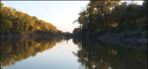
Figure 37. The Red River is the boundary between North Dakota and Minnesota. (Garrison Conservancy District)
Something is a little unusual about the name “Red River Valley.” A river valley is usually formed by a river washing away soil and rocks to form a valley. A valleyLow land between mountains or hills is low land between mountains or hills. The Red River Valley was not formed by the Red River, and it is not a valley. Of course, the Red River is not red either!
When the last glacier in North Dakota melted about 12,000 years ago, glaciers still existed to the north in Canada. These glaciers formed a huge dam which blocked the rivers trying to flow north. The water backed up and formed a gigantic lake, called Lake Agassiz (ag-a-see). (You read about Lake Agassiz in the geology section.) This lake existed for about 4,000 years. After the lake had drained away, the once-hilly land that had been under this huge lake was almost as flat as a floor. This happened because the sediment left by the lake had filled in the low places and made the whole area level. The lake bed of the ancient Lake Agassiz is now called the Red River Valley. It covers the eastern strip of North Dakota next to the Red River and extends many miles into Minnesota and up into Manitoba.
The western edge of the Red River Valley is a long ridge of land running north and south. This ridge is so small it is difficult to see in the southern part of the state. In the north, however, the ridge becomes the Pembina Mountains, a heavily wooded area near Walhalla, North Dakota. Although not very high, they are called mountains because they look high compared to the low, flat land east of them.
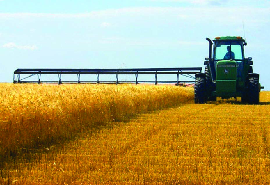
Figure 38. The Red River Valley is known for its rich farmland and good crops. (ND Tourism)
The Red River Valley has some of the richest soil and best farmland in the world. There are two reasons for this: (1) fertile (rich) soil had been brought down from Canada by the glaciers; and (2) a great deal of organicDecayed plants and animals matter had been left from Lake Agassiz. Organic matter makes soil very rich which means it is good for growing crops. The Red River Valley has been called “The Breadbasket of the World” because so much food is raised there. Sugar beets, potatoes, corn, and wheat are some of the main crops raised by farmers in the Red River Valley.